Our business

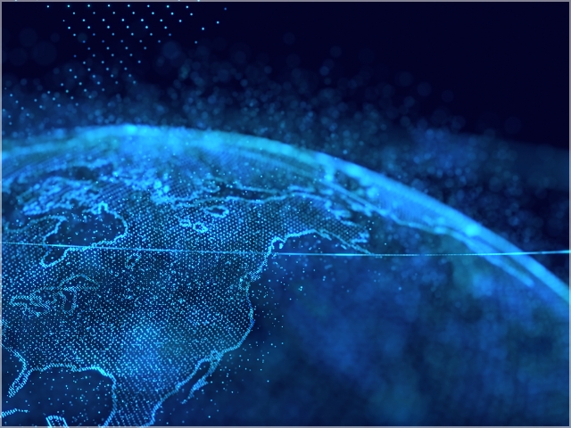
Remote sensing is a technology used for studying the shape and properties of objects from a distance without touching them. With this technology, the entire Earth can be observed from space using satellites. This is called satellite remote sensing.
RESTEC provides total solutions by harnessing its comprehensive strengths, ranging from research and development to implementation and use of satellite remote sensing, in order to contribute to resolving social issues, including environmental issues,
natural disasters, national land management, and agriculture, forestry, and fishery issues.
Paving the way for a prosperous future
with remote sensing technology- Enhancing, Connecting and Sharing -
Vision

RESTEC has been using remote sensing technology for half a century to collect data on the ever-changing conditions of the Earth from space, and deliver it worldwide.
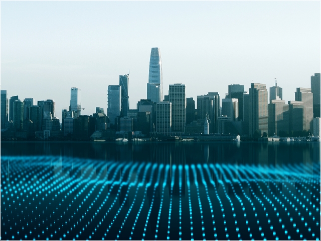
Our planet is facing challenges, such as global climate change, record-breaking torrential rains due to global warming, and dramatic changes in the security environment. Additionally, Japan is entering a critical phase as its social infrastructure ages and its labor force declines.
Under these circumstances, RESTEC strives to explore the potential of remote sensing technology in order to provide data tailored to the diverse values of our users, improve the quality of people’s lives, and pave the way for a prosperous future.
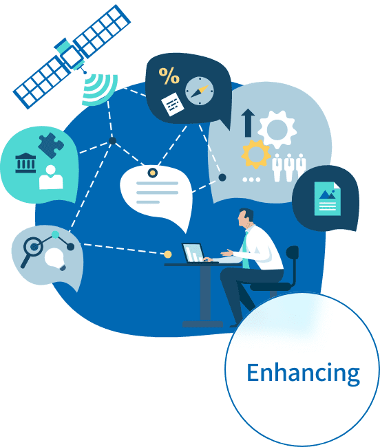
“Enhancing”
RESTEC will continuously pursue the development and use of remote sensing technology to further enhance its technological capabilities and values.
“Connecting”
RESTEC will leverage the achievements made by remote sensing technology to benefit numerous fields and connect society.
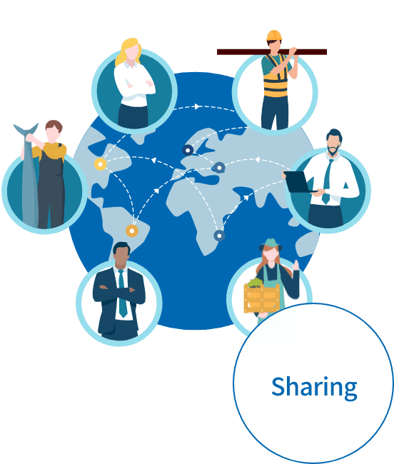
“Sharing”
RESTEC will share the prosperous future paved by remote sensing technology with people all over the world.
The seven business areas of RESTEC
through comprehensive initiatives on satellite earth observation.
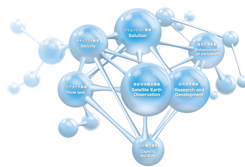
Category
Satellite Earth Observation
Supporting Japan’s space development and utilization by building on our comprehensive capabilities in remote sensing technology
We support domestic and international space development and utilization by providing a full range of services from the development and operation of earth observation satellites to data processing and utilization. In addition to the technologies developed through our research and development activities, we provide proposals and support for satellite remote sensing projects both domestically and internationally.
Research and Development
Pursuing new possible uses of remote sensing technology and leading analytical studies
We are engaged in technological development necessary for solution businesses and others, actively collaborating with private companies and space-related organizations to incorporate new technologies, create original technologies, and explore new possibilities for remote sensing technology utilization in various fields. This initiative involves continuous efforts in research and development to strengthen the fundamental and applied capabilities of remote sensing.
Security
Contributing to a Safe and Secure Society through Advanced Expertise
Utilizing and expanding the comprehensive knowledge of remote sensing that we have accumulated, we support the resolution of issues related to ensuring national security and public safety. We plan to expand the uses of remote sensing technology in fields such as space security by implementing this business.
Think Tank

Finding Earth observation solutions and making policy recommendations based on our broad expertise and networks
Based on a wealth of knowledge we have accumulated over the past half century, we conduct surveys, analysis and consulting services related to the planning, formulation, and implementation of government projects.
Through this business, we aim to serve as a hub for information dissemination both domestically and internationally, contributing to the resolution of social issues and realization of policy recommendations.
Solution
Using remote sensing technology to help solve issues facing society and customers
This business actively promotes collaboration with private companies and space-related organizations to provide data, technology demonstrations, and services to solve social and customer issues. While planning and developing new services and products, we actively promote the social implementation of remote sensing technology in order to solve social issues.
Capacity building
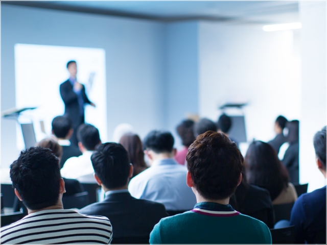
Increasing the users of remote sensing technology through training services and networks
This program is designed to identify the needs of our stakeholders and provide a wide range of training programs to equip them with the remote sensing knowledge and practical skills appropriate to the issues they face. While expanding the range of remote sensing technology applications, we will utilize the network of clients who have received the training we have provided to solve their issues and develop our services for further growth.
Enhancement of Utilization
Scaling up remote sensing from a public interest perspective
Engaging in the promotion and utilization of remote sensing technology and to support in the field of remote sensing communities, this program is to provide research grants in cooperation with universities and academic societies and dispatch our colleagues to schools to offer classes.
Our goal is to enhance understanding of remote sensing and promote its utilization globally.