AW3D
AW3D: Global High-resolution 3D Map
Overview
The AW3D Full Global 3D Map is 3D data that simulates the terrain, ground undulations, and the heights of trees and buildings on the Earth's surface all over the globe. The Earth as it exists in actual physical space is rendered in digital format in cyberspace. By doing so, the 3D map data can be used with other digital data and are expected to contribute to improving existing operational procedures and expanding businesses as well as creating new value and services.
AW3D is a service jointly developed and sold by RESTEC and NTT DATA Corporation. Unlike conventional 3D data obtained by analyzing satellite images of the Earth's surface, AW3D is able to produce and provide 3D data of any place on Earth with a short delivery time, made possible by combining the latest IT technologies, including Multi-View Stereo Processing—AW3D's unique image processing technology—as well as AI, big data, and cloud computing. With the future development of the space business, we will be able to provide even higher quality 3D data as the number of available satellites increases and satellite-mounted sensor functions improve.
Since commencing product distribution in 2014, AW3D has been utilized in 130 countries and 1,300 projects. Its use spans a number of fields from mapping, disaster management, resource development, urban development to infrastructure development. Service use has also begun in cutting-edge verticals such as 5G mobile phone networks and autonomous driving. AW3D will continue to evolve and contribute to customers' development of new businesses.
-
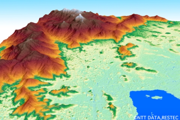 Standard version 3D terrain dataUsing JAXA's ALOS satellite images, we provide elevation models of land areas all over the world at 2.5 cm and 5 cm resolutions.
 -
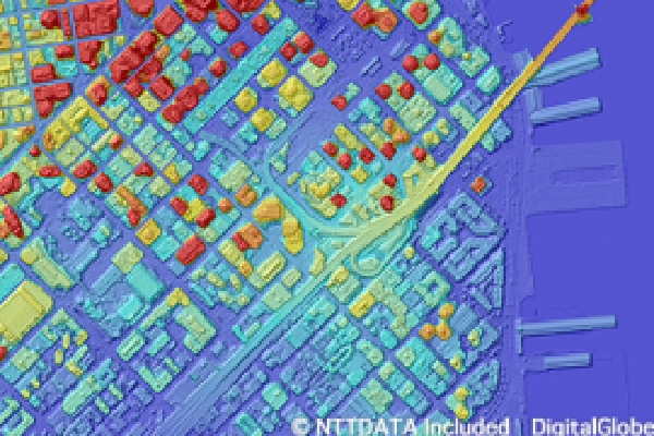 AW3D High-definition 3D terrain dataUsing Maxar’s imagery that has the world’s highest resolution, we provide high-precision elevation models at 0.5 m to 2 m resolution.
 -
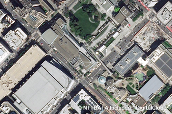 AW3D Ortho ImageryAW3D Ortho Imagery are satellite images (30 cm to 50 cm resolution) provided by Maxar (formerly DigitalGlobe) and other images that have been orthorectified using the AW3D elevation model.
 -
 AW3D Building 3D dataWe provide polygon data that combines building heights obtained from Maxar’s satellite imagery and the shapes of individual buildings.
 -
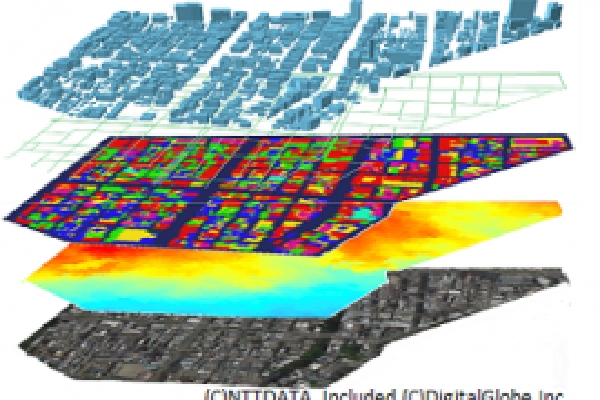 Standard version 3D terrain dataThese are perfect 3D datasets for simulations comprised of various data, including building, vegetation, and bridge data as well as digital land use maps.
 -
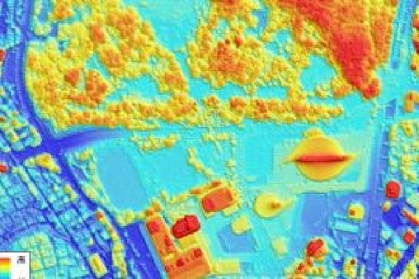 AW3D® Japan High-definition 3D mapThese are digital 3D map data sets covering all of Japan consisting of imagery, terrain, and building data with 1:2,500 positional accuracy.
Contact
Please contact our support for details.
- Related Links
